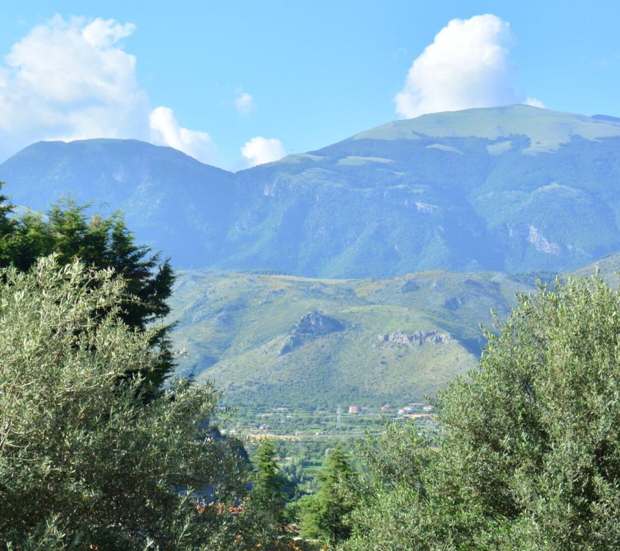
Agricultural use of land
Orographic Characteristics and Land Use
The maps and charts displayed in this section provide a detailed overview of the orographic characteristics of different altitude zones and their primary agricultural uses. Thanks to the explanatory texts, which include data from the 19th-century provisional land registry, visitors can gain a better understanding of how the Morano agricultural landscape was organized.
Main Crops in Different Areas
The documents on display reveal a clear division of crops across various regions:
- Mountainous and High Plateau Areas: Forests and natural pastures predominated, supporting extensive sheep farming. This traditional pastoral activity is well-documented through a rich photographic collection. In the Campo Tenese area and the Campizzo basin, cereal cultivation was dominant, particularly rye.
- Hills and Lowlands: Vineyards and olive groves were widespread, though olive cultivation was less extensive than viticulture.
- Irrigated Areas Along the Coscile River: The abundant water supply favored irrigated crops and tree cultivation, which were distributed throughout the territory in varying degrees.
Agricultural Transformations Between the 19th and 20th Centuries
From the late 19th to the early 20th century, the agricultural landscape underwent significant changes. Maps and charts illustrate a notable increase in forested areas, while viticulture nearly disappeared due to the spread of phylloxera and downy mildew.
The Impact of Urbanization on Agricultural Land
The most profound transformations occurred in recent decades due to intense urbanization, particularly after World War II. The expansion of residential areas drastically reduced the amount of land available for agriculture, profoundly altering the region’s landscape.
Historical Images of the Morano Countryside
This section includes a selection of historical photographs from the 1930s, documenting the agricultural landscape before the urban expansion of the 1950s. These valuable images provide a visual record of traditional land use in Morano Calabro.