Land ownership structure
Land Ownership Structure: History and Evolution of the Land Regime
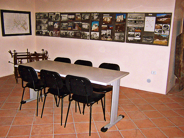
The section dedicated to the land ownership structure in the museum features a series of graphs and tables documenting the results of an in-depth historical research on the evolution of the land regime. The data presented have been primarily derived from two land registries: the Provisional Land Registry from the early 19th century and the Registry from the 1920s, which clearly show the distribution of land ownership over time, highlighting the phenomena of fragmentation and polarization.
Polarization of Land Ownership in the 19th Century
In the 19th century, land ownership was highly polarized. On one side, there was a small number of large properties, belonging to the Municipality, descendants of the feudal lord, churches, and the main families of the landed bourgeoisie, which covered about 75% of the total area. On the other side, a multitude of small plots, less than ten tomolate (3.3 hectares), covered only 13% of the total area. The larger properties, mainly located in the mountainous areas, were primarily used for grazing and forestry management.
Fragmentation of Properties and the Redistribution Process
A particularly interesting aspect is represented by the tables illustrating the fragmentation of several of the larger land properties. This phenomenon can be explained by the process of land redistribution that occurred during the 19th century. The establishment of land holdings was gradual, often through the acquisition of small plots of land located in different areas, sometimes quite far apart. This process was driven by a class originally non-agricultural, which invested the proceeds from non-agricultural activities such as liberal professions, trade, and craftsmanship.
Evolution of the Land Regime and Dynamics of the Agricultural Population
The land regime underwent significant changes between the 19th and 20th centuries, with important shifts in the composition and dynamics of the agricultural population. These changes are extensively documented in the museum, with a series of explanatory tables and archival materials that provide a complete picture of the agricultural reality of the time.